GIS-Database
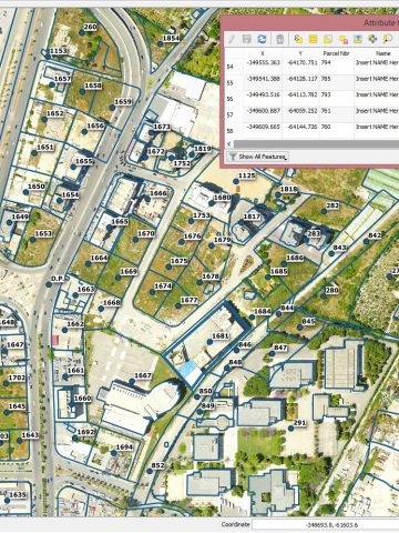
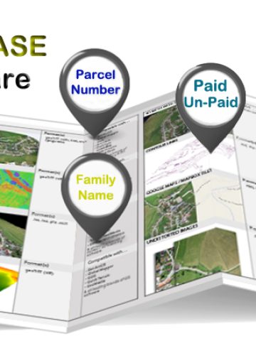
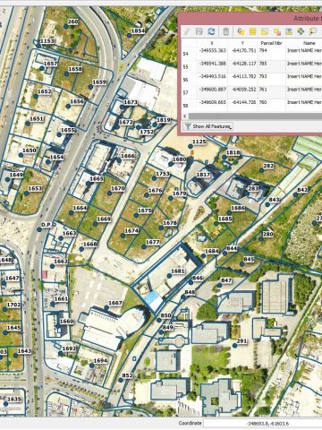
The dedicated GIS/Database Software permits the user to visualize all the required layers like Aerial Imagery, Contour Lines, Cadastral, Infrastructure drawings along with a complete Georeferenced / Geospatial Database Features (Landmarks, People, POIs etc..) which includes and not limited to: Coordinates (Latitude and Longitude), Name, Family, Mobile/Landline Numbers, Nationality, Paid, Date of Construction, Classification, Type, Word / Excel files, Photos, Videos…or any other defined attributes in an easy and user-friendly ways. Thus; Searching and Locating any Features ( e.g: Citizens ,Landmarks, POI-Points of Interest…) by any of the above mentioned Attributes (e.g: Name, Number, Nationality etc…) thru this dedicated GIS/Database software is now viable, reliable and very convenient for any User.

Contact
- +961 3 456 157 (LB)
- +966 55 9613695 (KSA)
- [email protected]
- Zalka, Beirut-Lebanon
© 2023, All rights reserved, Developed By A.A
