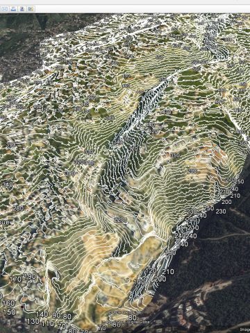
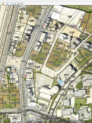
Aerial Mapping & Surveying
For AutoCAD, ArcGIS or Any CAD Software
We provide Geo-referenced, Up-to-Date, To Scale, Orthorectified & High Resolution Aerial Imageries along with Contour Lines / Elevation Points to be Overlaps with any related georeferenced drawings, Designs, Cadastral or Infrastructure plans which can be visualized through the AutoCAD, ArcGIS or Any CAD Software.
P.S:
- LibanCiel sarl uses the same cadastral drawings which are adopted by the Authorities e.g: Ministries, Municipalities …
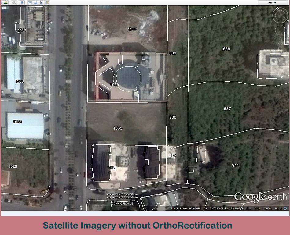
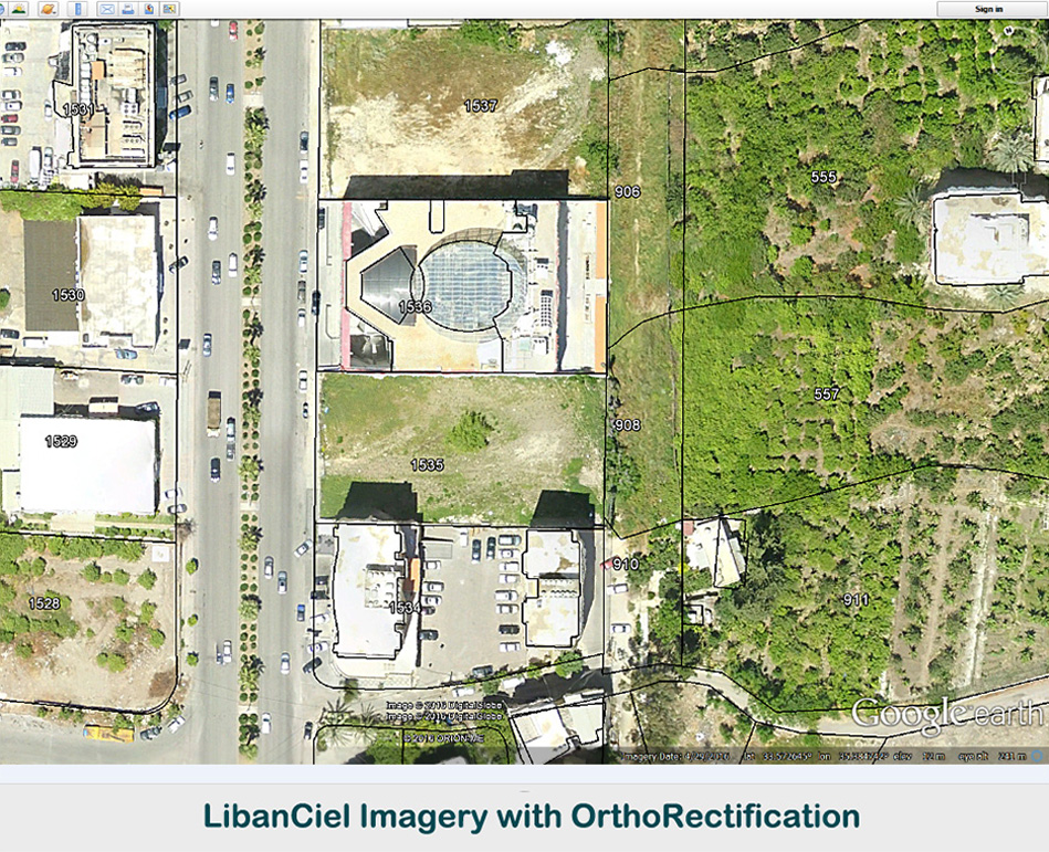
LibanCiel vs Satelite Imagery
Data for iOS & Android Applications


By using our compatible data with specific iOS & Android Apps, so wherever you are, this solution can show you all the drawings / layers like Aerial Imageries, Cadastral, Contour Lines, Infrastructure drawings, 3D Models… on your iPhone, iPad or Android devices. Also the measurements (Distances, Areas and Perimeters) can be done in a user-friendly way.
What can be done thru these Applications + our installed Data by a simple click :
1- Searching and locating a parcel number
2- Getting All information / Attributes which pertain to any Feature (Name, Number, Classification, Nationality etc…).
3- Measuring Distances, Perimeters and Areas (Parcels and Bldgs Areas need just one click)
4- Knowing the exact Boundary of each parcel based on the given cadastral drawing thru an Up-to-Date Aerial Imagery (Georeferenced and High Resolution).
5- Thru the iOS app, your Built-in GPS can assist you to know your way (road) to head toward your destination location (e.g: Parcel number) while on the Go. (On-Road or Off-Road) etc…
6- Visualizing the 3D Model of any project (Design or Existing one in Augmented Reality).
Google Earth solutions
Our generated Georeferenced, Up-to-Date, To Scale, Orthorectified and High Resolution Aerial Imageries, Cadastral and the Contour Line drawings perfectly Overlapp and can be visualized through Google Earth also (user-friendly Software).
P.S:
1- LibanCiel sarl uses the same cadastral drawings which are adopted by the Authorities e.g: Ministries, Municipalities …
2- Ability to Measure Distances, Perimeters, Areas or searching for a Parcel number are doable.

Contact
- +961 3 456 157 (LB)
- +966 55 9613695 (KSA)
- [email protected]
- Zalka, Beirut-Lebanon
© 2023, All rights reserved, Developed By A.A
